
ΕΛ CHECK AVAILABILITY

NATURE · SPRING, SUMMER, AUTUMN

The Ursa Trail starts in the square

  • 3 min on foot
  • May–Oct
  • from two hours to four days
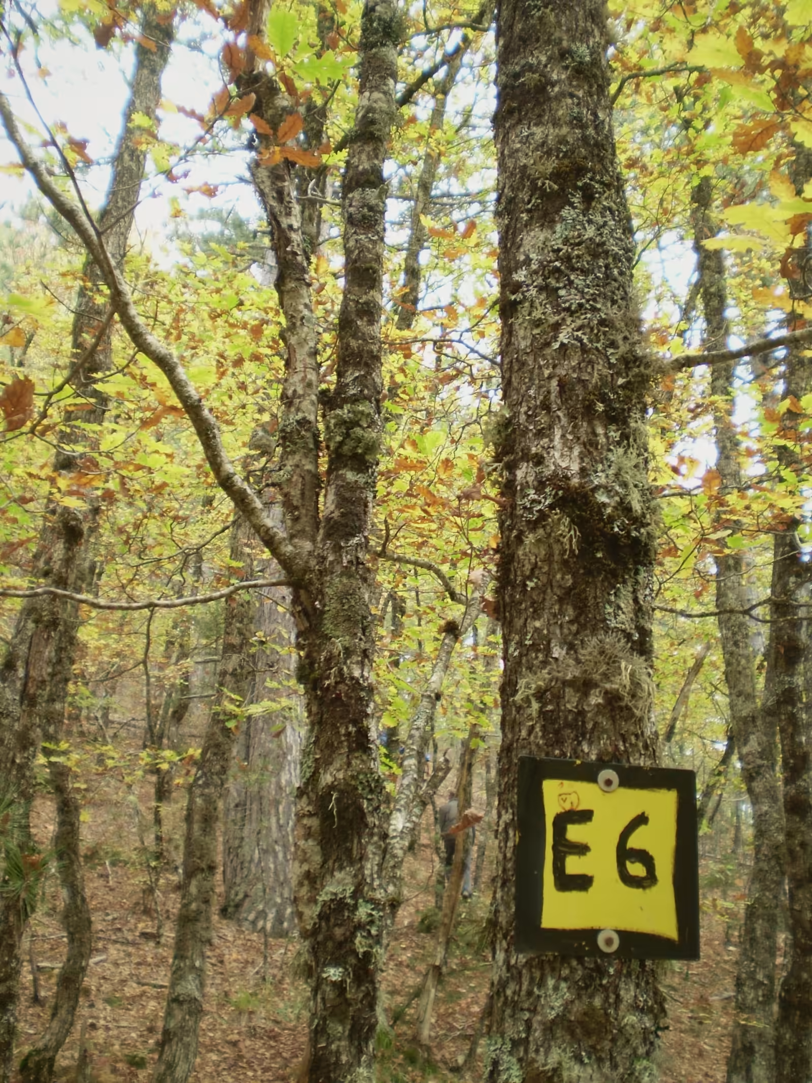
A marker of the E6 European long-distance path on a trunk in an autumn beech forest in Valia Calda.
The E6 European path in Valia Calda

Photo: Little Ruth · CC BY-SA 4.0 · Wikimedia Commons

HOW FAR
3 minOn foot · 180 m
TIME NEEDED
from two hours to four days
BEST MONTHS
May–Oct
WHERE
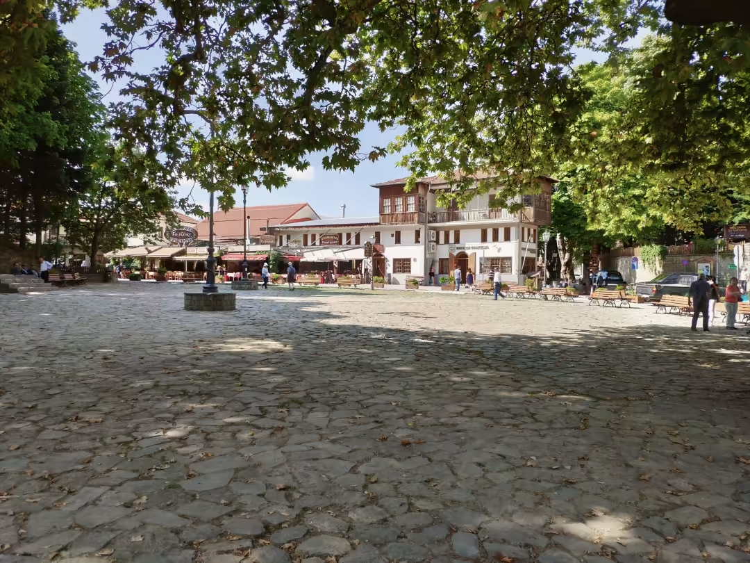
The Ursa Trail map in the square

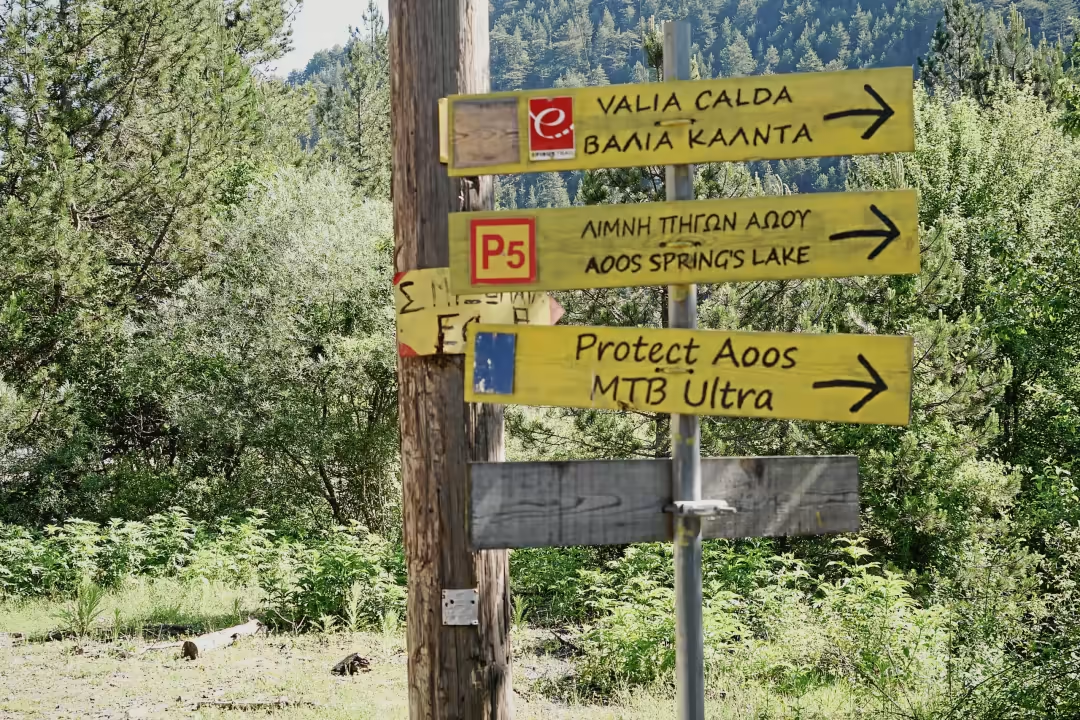
The walking version of the Ursa Trail is a 40 km route in four day stages around Metsovo, certified by the European Ramblers Association as a 'Leading Quality Trail – Best of Europe'. The 363 km Epirus Trail and the European E6 also pass through. The Ursa Trail mountain races are held in late May.

WHO IT SUITS

  • hikers and trail runners
  • anyone who wants to start from the door, without a car

PRACTICAL

The four stages: Metsovo–Anilio ski area and back (1 and 2), Metsovo–Politsoara–Metsovo (3), Politsoara–Vale di Liosani–Politsoara (4). Snow lingers on the heights until May. In August 2026 a local society restored the roof of the old 'Krya Vrysi' spring at Profitis Ilias. Leave no food on the trail; if you see a bear, keep your distance.

A CAVEAT

Stage names come from a travel.gr article (Y48); the municipality gives only the overall route.

Official website · dimosmetsovou.gr

SOURCES

Checked on 25 October 2026.